

See the bigger picture with location data. Bring maps, assets and business data together to plan locations, monitor operations and make informed decisions.
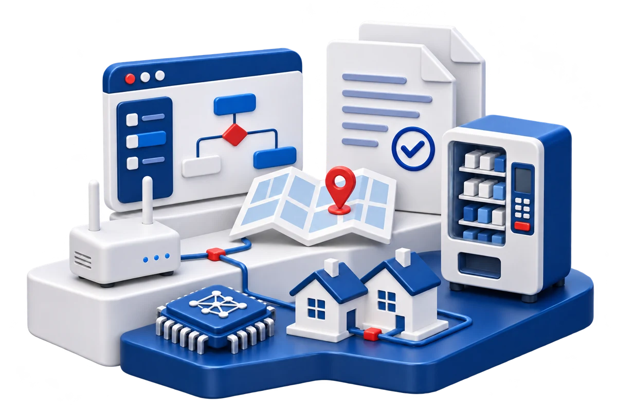
Bring information from different sources into an interactive map. Compare areas, spot patterns and give your team a clearer view of what is happening on the ground.
Combine business records and geographic layers in one workspace.
Work with layers such as satellite imagery, weather, disaster information and GPS tracking.
Connect with your existing GIS environment and choose a setup that fits your organization.
Talk to the Mitreka team about your assets, data sources and deployment.