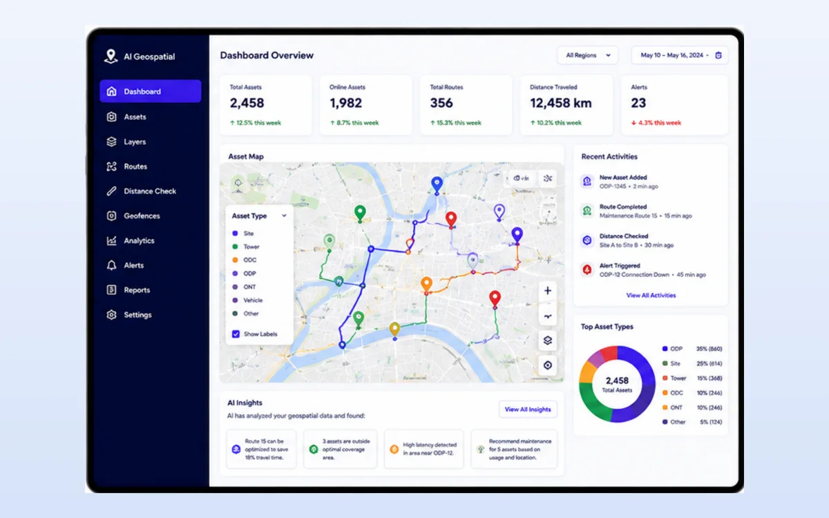
Record, visualise and analyse assets on maps with intelligent automation, from asset mapping to route optimisation and distance checks.

Upload asset data or collect it in the field. AI geocodes, maps and analyses it to find the best routes, check distances and detect unusual patterns.
Product screen for illustration. Figures shown are sample data.

Mitreka works with AI.DECE as an AI product implementor, delivering AI.DECE solutions to clients in Indonesia.
Record and visualise assets on interactive maps.
Find the fastest and most efficient routes.
Measure distance between assets or locations.
Spatial analysis with recommendations.
Detect unusual asset behaviour or location.
Works with IoT, CRM, ERP and more.
A simple flow from your data to a useful result.
Talk to the Mitreka team about your use case and integration.